Accurate, technology driven geomatics solutions delivering reliable spatial data to support land administration, urban planning, infrastructure management, and evidence based decision making through advanced mapping and geospatial analysis.
PRECISION IN EVERY DATASET
Reliable geomatics data and spatial accuracy are essential for effective planning, resource management, and informed policy and investment decisions. Horn Survey delivers dependable geomatics survey services that support government institutions, development partners, and private sector organisations across Somalia.
Our approach combines advanced data collection technologies, structured field workflows, and rigorous data validation processes to ensure that spatial datasets are accurate, consistent, and fit for purpose. With experienced GIS specialists, disciplined field coordination, and a strong understanding of spatial data standards, we support clients in transforming raw geospatial data into actionable insights.
From GNSS surveys and drone mapping to GIS analysis and spatial database development, Horn Survey provides structured, responsive, and technically sound geomatics solutions that give clients confidence across every stage of data collection, processing, and application.
GNSS and Spatial Data Collection
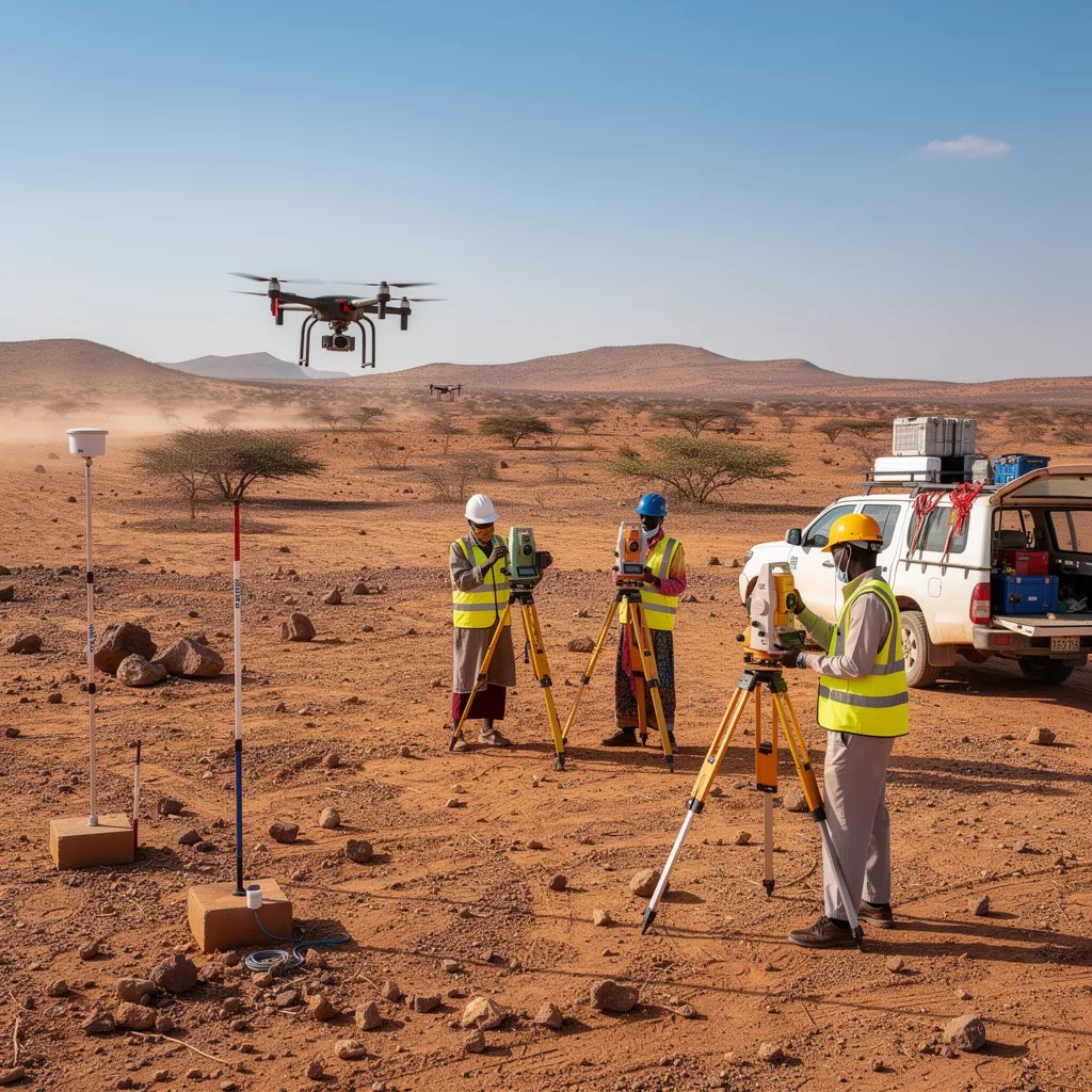
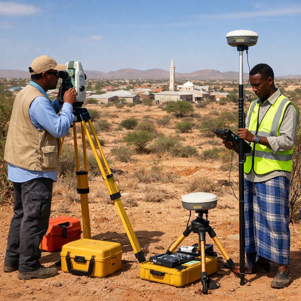
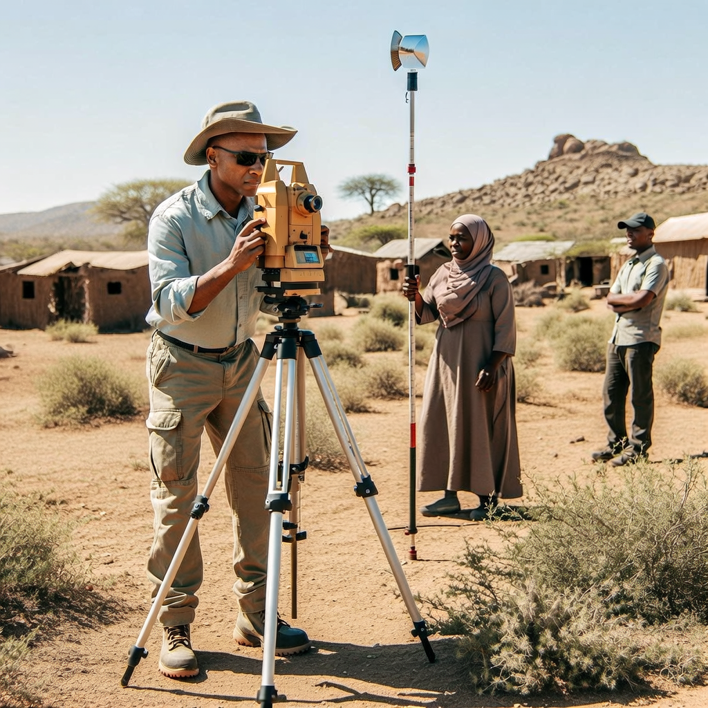
Accurate ground control, GNSS surveys, and spatial data capture conducted using calibrated equipment and standardised methodologies to support mapping, planning, and infrastructure applications.
GIS Mapping and Data Management
Structured GIS mapping, spatial analysis, and database development to support land administration, urban planning, asset management, and decision support systems.
Remote Sensing and Drone Mapping
High resolution drone surveys and remote sensing analysis delivering orthophotos, digital elevation models, and spatial products for planning, monitoring, and environmental applications.